Vatnajökull Glacier Hike: Where You Can Actually Walk On It
Nobody walks Vatnajökull. The ice cap is 7,700 square kilometres of crevassed plateau that expeditions cross in days, not afternoons. A Vatnajökull glacier hike puts you on one of its outlets instead, a tongue that spills off the edge and down to road level, and the tongue you get depends entirely on which car park you drive to. Three of them sell day tours. Six routes leave from Skaftafell, and this page compares that access point against the other two.
Quick answer
You cannot hike Vatnajökull itself on a day tour. Guided walks go onto its outlet glaciers, which are separate tongues of the same ice cap, and three access points sell them: Skaftafell for Falljökull, Hali for Breiðamerkurjökull, and the Jökulsárlón area. Skaftafell has the most choice, from $97 for three hours to $241 for a day with ice climbing, and the icefall that makes Falljökull the most dramatic of the three.
Key takeaways
- Cheapest way onto the ice cap: $97 for a three-hour walk from the Skaftafell side, though it meets at Jökulsárlón car park
- Most reviewed: the five-hour Glacier Explorer at $166, rated 4.8 from 353 travellers, with about four hours of walking
- The Hali alternative: four hours on Breiðamerkurjökull for 16,900 ISK, groups of 12, minimum age 10, from a base camp 13 km east of Jökulsárlón
- Skaftafell asks more of you: minimum ages of 12 and 14 against 10 at Hali, and routes described as moderate to challenging rather than easy
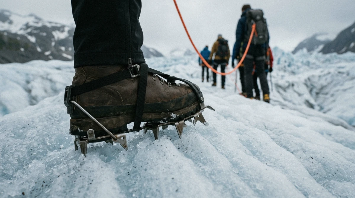
- Every tour includes crampons, helmet, harness and ice axe. Nothing includes food, and waterproofs are a rental
- All year, with free cancellation up to 24 hours ahead on every route listed here
The Ice Cap, and the Tongues You Can Reach
What You Are Standing On
Vatnajökull covers 7,700 km² (3,000 sq mi), about 8% of Iceland, which makes it the largest ice cap in Europe by volume. The ice averages 380 m thick and reaches 950 m where it fills the deepest basins, holding roughly 3,000 km³ of water. Hvannadalshnjúkur, the highest point in the country at 2,109.6 m, is a rim of the Öræfajökull volcano pushing up through its southern edge.
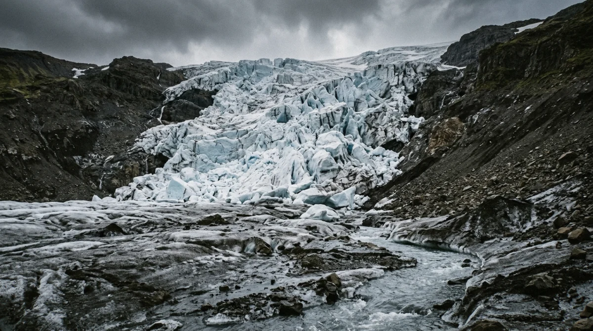
That scale is why day tours never touch the cap itself. The plateau is a featureless white dome fringed by crevasse fields, and reaching it means a multi-day traverse with sleds. What you can reach is an outlet: one of around 30 tongues where the ice funnels between mountains and flows downhill, breaking up as it goes. Outlets are where the interesting ice lives, because a glacier that is being bent and stretched cracks open into crevasses, ridges, moulins and, in a few places, icefalls.
Vatnajökull National Park was founded on 7 June 2008 around the ice cap and everything it feeds. Seven volcanoes sit under the ice, Grímsvötn and Bárðarbunga among them, which is why glacial floods have a name of their own here.
Skaftafell and Falljökull
The Skaftafell side sells the widest choice: six guided routes from four operators, running 3 to 7.5 hours at $97 to $241. Every one of them walks Falljökull, an outlet whose name translates as the falling glacier.
It earns the name. Falljökull drops down a step in the bedrock and shatters, throwing up an icefall of stacked blocks and seracs. Icelandic Mountain Guides call it the most impressive glacier tongue on Vatnajökull for exactly that reason, and it is why four operators drive past the closer Skaftafellsjökull to get here. Tours meet in the Skaftafell area, then take a 4x4 bus about 11 km (7 mi) west to the ice edge.
What you give up is gentleness. Skaftafell routes run moderate to challenging, minimum ages sit at 12 and 14, and a standard hike climbs 200-250 m over uneven ice. If you want a flat introduction, this is not the access point.
Skaftafell is 327 km (203 mi) from Reykjavík, a 4.5 to 5 hour drive in summer, and 130 km west of Höfn. Parking is 1,110 ISK per car, valid until midnight. For when to come, our month-by-month timing guide covers daylight and ice colour across the year.
Hali and Breiðamerkurjökull
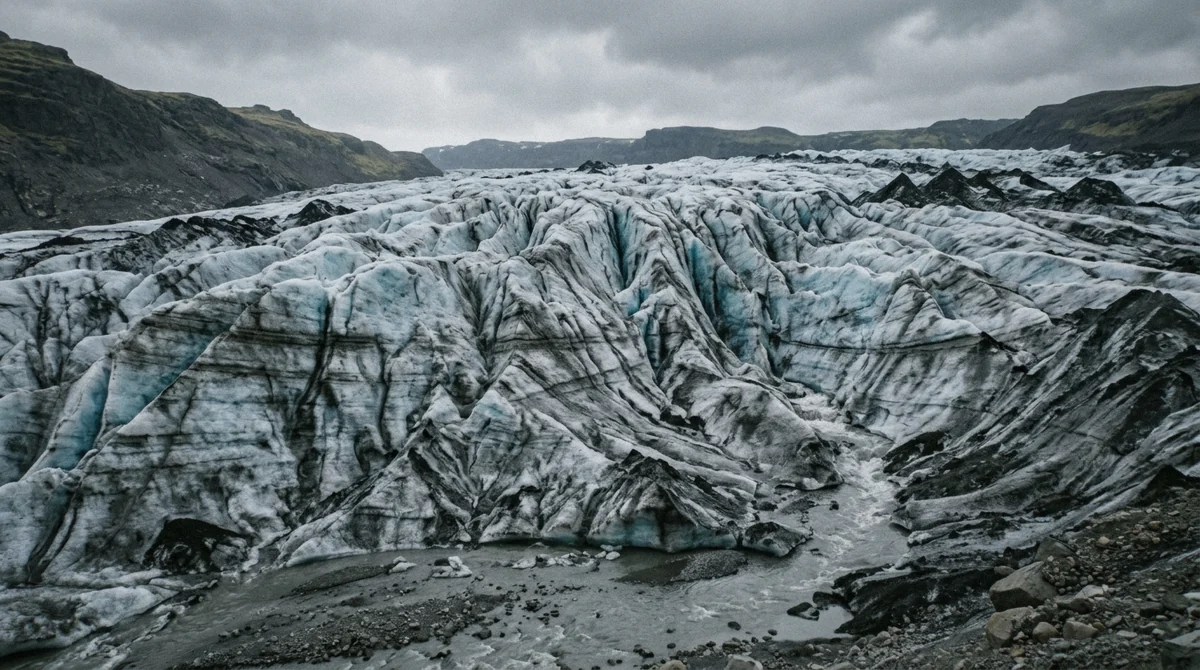
Further east, a base camp at Hali runs walks onto Breiðamerkurjökull, the outlet that calves into Jökulsárlón. It sits 13 km east of the lagoon car park.
The shape of the day is different: four hours in total with 1.5 to 2 hours on the ice, groups capped at 12, minimum age 10, at 16,900 ISK for adults and 10,700 ISK for children. Crampons, harness, helmet and ice axe are included, and parking, coffee and wifi come free at the base camp.
This is the option for families and for anyone whose fitness makes four hours on uneven ice a bad idea. The trade is scenery: Breiðamerkurjökull is a broad flat tongue rather than a broken icefall, so the drama comes from the lagoon and its icebergs instead of from the ice underfoot. The lagoon and Diamond Beach sit within a few minutes of the base camp, so the drive earns its keep either way.
The Outlets Are Retreating, and You Can See It
Every tongue on this ice cap is shorter than it was when the interpretation signs went up, and Skaftafellsjökull is one of the most closely measured in the country.
It is pulling back 50 to 100 metres a year. Guðmundur Ögmundsson, who has photographed the terminus annually for years, recorded 850 metres lost between 1995 and 2019. Go further back and the numbers get starker: about 1.3 km between 1932 and 1967, and roughly 2,300 m since the first topographic maps of the area were drawn in 1904.
On the ground this shows up as a walk that keeps getting longer. The viewpoint at the end of the free S1 trail has not moved; the ice has. Some of the older photographs on the trail boards were taken from spots that now look out over bare gravel.
The same story runs across the cap. Trimlines on the valley walls above Falljökull mark where the surface used to sit, and guides point them out because the gap between that line and your boots is the clearest thing on the glacier.
Volcanoes, Floods and Why the Rivers Are Grey
Seven volcanoes sit under this ice, Grímsvötn and Bárðarbunga the most active among them. Öræfajökull, the one directly above Skaftafell, produced the most violent eruption in Icelandic history in 1362.
When a subglacial eruption melts ice faster than it can drain, the water leaves at once. Icelandic gave the world a word for it: jökulhlaup, a glacial outburst flood. The 1996 Grímsvötn event tore out sections of the Ring Road across the sand flats east of Skaftafell, and the twisted bridge girders left as a memorial still stand beside the road.
That is also why the rivers here run grey rather than clear. What you are looking at is rock flour, bedrock ground to powder under the weight of moving ice and carried out in the meltwater. The braided channels crossing the flats between Skaftafell and Jökulsárlón are all doing the same thing.
Which One to Drive To
Sleep at Jökulsárlón or east of it and Hali is the shorter morning. Sleep anywhere between Kirkjubæjarklaustur and Skaftafell and the Skaftafell routes are, though two of the six actually meet at Jökulsárlón and Fosshotel Glacier Lagoon, so check the voucher rather than the title.
If the point of the day is to see how a glacier breaks itself apart, take Falljökull and take a long route. Four hours on the ice gets you above the busy lower tongue and into the icefall, which is where the photographs people remember come from. If the point is to touch a glacier once, comfortably, with a ten-year-old, Hali does it in four hours for less money and less effort.
Neither is a day trip from Reykjavík. Both are stops on a south-coast drive, and both fill in summer.
One outlet is off the list entirely. Svínafellsjökull, the next valley over from Falljökull, carried a thousand walkers a day in 2017 and has been closed to guided activity since June 2018, when a fracture was found in the Svínafellsheiði mountainside above it. Between 60 and 100 million cubic metres of rock could come down onto the ice. Civil Protection advises against travel there, and the viewpoint is as close as anyone should get. Older itineraries still recommend it, which is worth knowing if you are working from a travel article written before that warning.
The Three Ways Onto the Ice Cap
Same glacier system, three car parks, three quite different days. Prices are per adult and were checked in July 2026.
| Access point | Outlet walked | Time on ice | Book | Price | Min age |
|---|---|---|---|---|---|
| Skaftafell, short routes | Falljökull | About 1.5 hours | $97 to $124 | No stated floor to 12 | |
| Skaftafell, long routes | Falljökull | 3.5 to 4 hours | $166 to $241 | 12 to 14 | |
| Hali base camp | Breiðamerkurjökull | 1.5 to 2 hours | 16,900 ISK | 10 | |
| Skaftafell, ice climbing | Falljökull | About 4 hours plus walls | $241 | 14 |
Guided Walks From the Skaftafell Side
Six routes onto Falljökull. They differ in how long the crampons stay on, how many people share a guide, and which car park you are asked to show up at.
 from $166Most Reviewed — 4.8★, 353 Reviews
 Skaftafell Glacier Explorer — Extended Small-Group Trek
The most-reviewed glacier hike leaving Skaftafell, and the one that spends the longest stretch on ice for a half-day price. Five hours door to door, of which roughly…
- About four hours walking, of a five-hour tour
- 4x4 bus from Skaftafell base camp to the ice edge, 20 minutes each way
- Climbs toward the Falljökull icefall, not just the glacier snout
- Crampons, helmet, harness and walking axe included
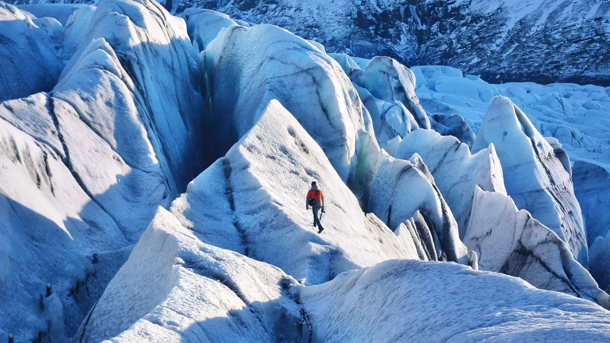 from $97Lowest Price — From $97
 Skaftafell Glacier Hike — 3-Hour Beginner Walk
The cheapest way onto the ice at Skaftafell and the shortest commitment. Three hours in total on an easy route over crevasses and ridges, with crampons, helmet and…
- Three hours total, the shortest glacier hike sold here
- Beginner pace; no previous ice experience needed
- Crampons, helmet and ice axe included in the price
- Meeting point is Jökulsárlón car park — read this before booking
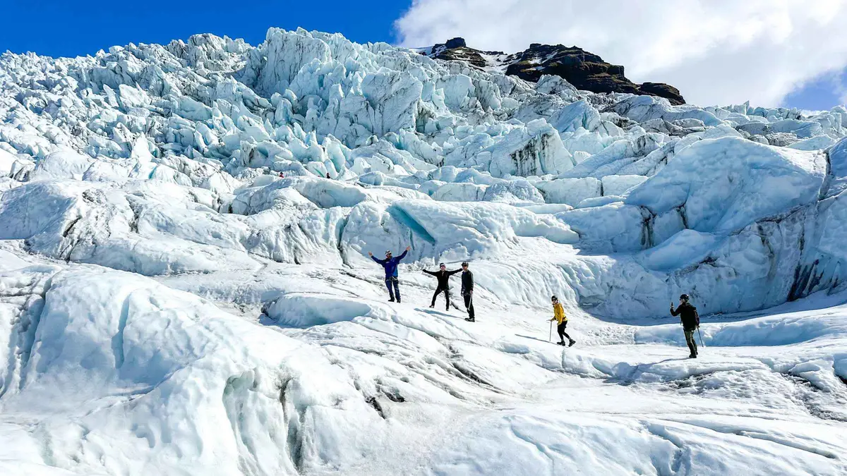 from $124Best Value Half Day
 Skaftafell Half-Day Glacier Hike — 5 Hours
A five-hour route that pushes past the busy lower tongue toward crevasses, ridges and moulins, and into small ice tunnels when winter conditions allow. Picks up at Fosshotel…
- Five hours, roughly half the price of the other long routes
- Goes deeper than the standard walk: crevasses, ice ridges, moulins
- Starts at Fosshotel Glacier Lagoon, 20 minutes by bus plus a 30-minute walk in
- Crampons, harness and glacier gear included
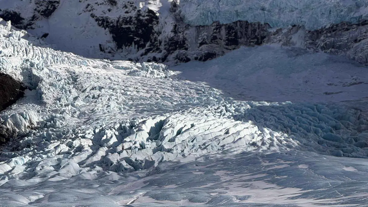 from $206About 4 Hours on the Ice
 Skaftafell Beyond the Limit — 6-Hour Glacier Adventure
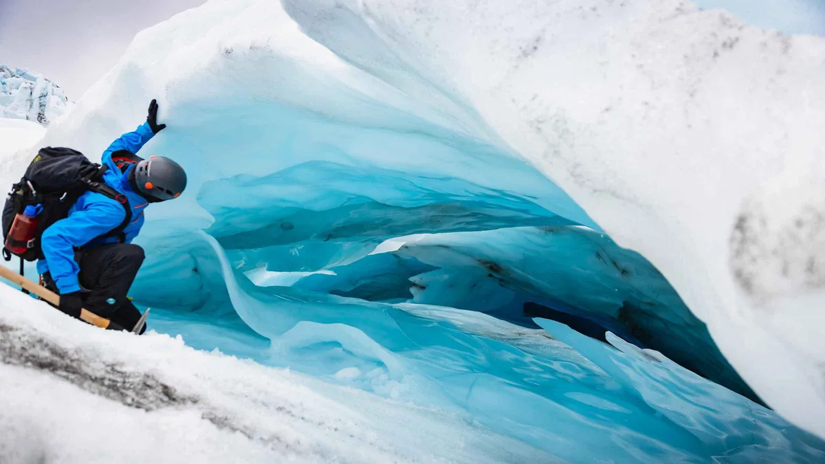
Six hours from the Tröll Expeditions hut, with about four of them on Falljökull itself, working through the icefall with harnesses and ropes where the terrain calls for…
- Six hours total, roughly four of them walking on Falljökull
- Ropes and harnesses used on the steeper icefall sections
- Winter departures often reach small blue ice tunnels
- Helmet, crampons, harness and ice axe included
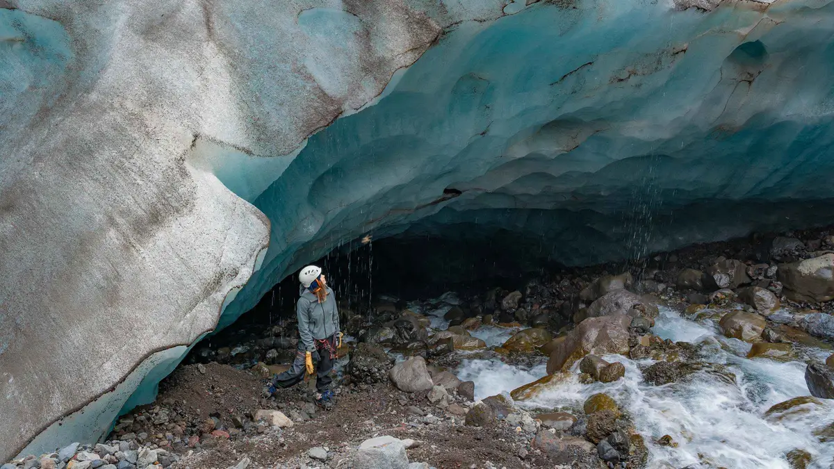 from $191Off the Marked Routes
 Skaftafell Long Adventure Glacier Hike
A six-hour crossing that leaves the marked routes entirely, climbing to the base of the icefall over sharp ridges and past deep moulins, with a lunch break at…
- Six hours, crossing the glacier rather than looping the snout
- Climbs to the base of the icefall over sharp ridges and crevasses
- Groups limited to eight; no fixed route
- Crampons, ice axe, helmet and safety harness included
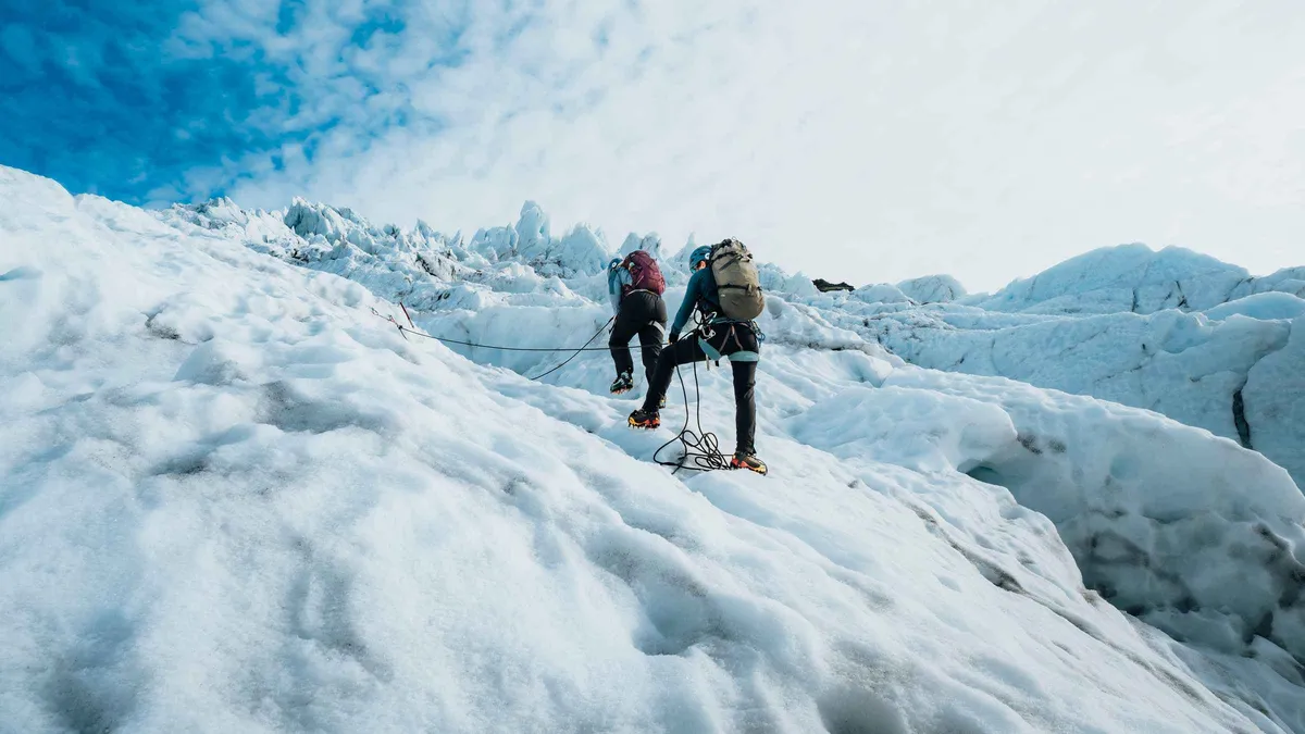 from $241Ice Climbing — Max 6 per Guide
 Skaftafell Glacier XTreme — Hike and Ice Climbing
The longest day on the ice at Skaftafell and the only tour here that puts you on vertical walls with an axe in each hand. Groups are capped…
- 7.5 hours, the longest glacier day sold from Skaftafell
- Real vertical ice climbing on Falljökull, ropes and axes taught on the day
- Maximum six guests per guide
- Ice-climbing boots, crampons, helmet, harness and axes included
Vatnajökull by the Numbers
The figures that explain why the ice cap itself stays off the day-tour menu.
Where the Outlets Reach the Road
Skaftafell sits on the southwest side of the ice cap at 64.0167°N, 16.9667°W. Falljökull is 11 km west of the visitor centre; Breiðamerkurjökull and the Hali base camp lie 50 to 70 km east along Route 1.
Questions About Hiking Vatnajökull
What is the best hike to see the Vatnajökull glacier?
For the ice itself, a long route on Falljökull from Skaftafell: four hours on the glacier gets you into the icefall rather than looping the flat snout. For seeing the ice cap from outside, the free S1 trail at Skaftafell reaches a viewpoint over Skaftafellsjökull in 4.1 km, and the Jökulsárlón lagoon shows you what Breiðamerkurjökull is dropping into. The $166 Glacier Explorer is the most reviewed of the long routes.
Can you hike the Sólheimajökull glacier without a guide?
No, and the same applies to every outlet of Vatnajökull. Glacier snouts are undercut by meltwater, laced with crevasses that snow bridges hide, and shedding blocks without warning. Operators and Vatnajökull National Park say the same thing, and the marked trail at Skaftafell ends at a warning sign for that reason. Walking to a viewpoint is free and safe; walking on ice needs crampons, a rope and a guide.
Which glacier hike is best in Iceland?
It depends on where you are sleeping and how hard a day you want. Sólheimajökull on the south coast is easier, closer to Reykjavík and takes children from 10. Falljökull at Skaftafell is harder, four to five hours from the capital, and has the icefall. Breiðamerkurjökull from Hali sits between the two. Our full comparison puts the numbers side by side.
How far is Vatnajökull glacier from Reykjavík?
Skaftafell, the main access point on the southwest side, is 327 km (203 mi) from Reykjavík: 4.5 to 5 hours of driving in summer on Route 1, longer in wind or winter. The Hali and Jökulsárlón access points are another 50 to 70 km further east. Nobody does either as a comfortable day trip from the capital.
Can you hike on the ice cap itself?
Not on a day tour. Crossing the plateau is a multi-day expedition with sleds and glacier navigation, run by mountaineering outfits rather than day-tour operators. What day tours offer is an outlet glacier, which is where the crevasses, ridges and blue ice are anyway. The flat white cap above is less interesting to walk on than the broken tongue below it.
Is a Vatnajökull glacier hike suitable for children?
It depends on the access point. Hali takes children from 10 on a four-hour walk with 1.5 to 2 hours on the ice. The Skaftafell routes set their floors at 12 and 14, and one practical limit catches families out: crampons do not fit shoes below EU size 35.